
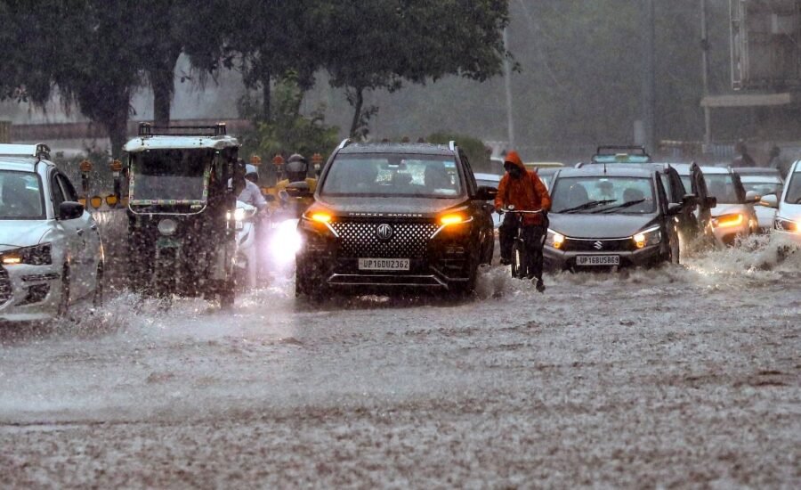
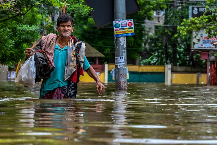
India is set for another active monsoon day on Wednesday with heavy to very heavy rain forecast across several states and the Northeast emerging as the biggest rainfall hotspot.
The India Meteorological Department (IMD), in its August 4 bulletin, has forecast heavy to very heavy rainfall at isolated places over Assam and Meghalaya, with the possibility of extremely heavy rain at isolated locations.
Similar intense spells are likely over parts of north and central India, including Uttar Pradesh, Uttarakhand, Bihar, Odisha and Madhya Maharashtra.
NORTHEAST, NORTH INDIA FACE HEAVY RAIN
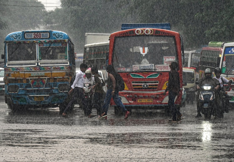
Assam and Meghalaya are likely to see the most intense rain, with heavy to very heavy rainfall and isolated extremely heavy spells forecast on August 5.
The IMD has also predicted heavy to very heavy rain over Arunachal Pradesh.
Further west, Uttar Pradesh and Uttarakhand could receive heavy to very heavy rain at isolated places.
Heavy rain is also expected over Haryana, Chandigarh and Delhi, Punjab, Himachal Pradesh and Jammu and Kashmir.
In eastern India, Bihar, Odisha, Jharkhand, Gangetic West Bengal and Sub-Himalayan West Bengal and Sikkim are among the areas likely to see heavy rain.
Odisha, Sub-Himalayan West Bengal and Sikkim could also experience very heavy rainfall at isolated locations.
SOUTH AND WEST TO ALSO STAY DRENCHED
The rain will not be restricted to the north and east.
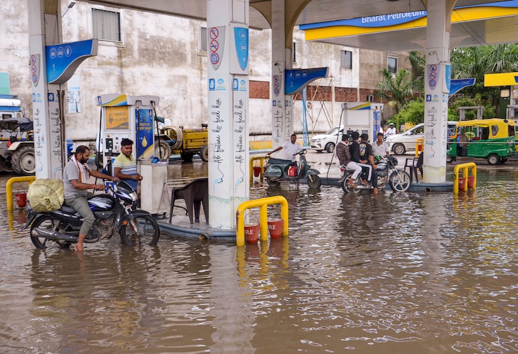
Konkan and Goa and parts of Maharashtra are forecast to receive heavy to very heavy rain at isolated places, while Kerala, coastal and interior parts of Karnataka could see heavy showers.
Chhattisgarh and Madhya Pradesh are also likely to receive heavy rain.
Thunderstorms accompanied by lightning and gusty winds are expected in parts of the south, including Kerala, parts of Andhra Pradesh, Karnataka, Tamil Nadu and Telangana.
WHY IS THE MONSOON SO ACTIVE?
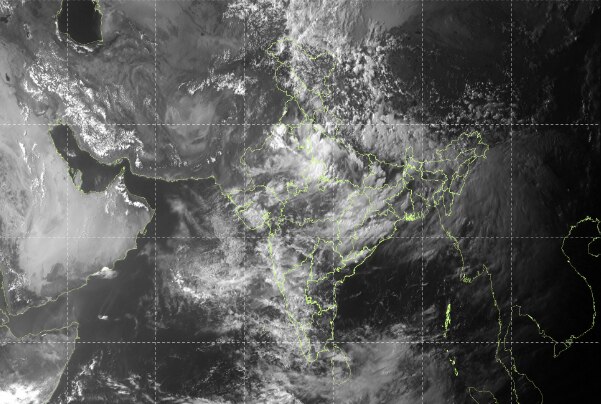
Several weather systems are helping keep the monsoon vigorous.
The monsoon trough currently runs from Anupgarh through Delhi, Shahjahanpur and Basti before extending eastwards towards Nagaland.
Multiple cyclonic circulations are also present over north Haryana, northeast Rajasthan, south Uttar Pradesh, northwest Bihar and northeast Assam.
Another circulation lies over the west-central Bay of Bengal and adjoining coastal Andhra Pradesh, while one over South Interior Karnataka is supporting rainfall over the southern peninsula.
These weather systems are currently working in tandem to maintain moisture and bring rainfall across large parts of the country.
The wet spell is expected to continue beyond today although the intensity and distribution of rainfall will vary from region to region over the following days.
– Ends